Maps

When Lake Michigan was Lac des Puans: The Cartographic Origins of the Great Lakes

When Lake Michigan was Lac des Puans: The Cartographic Origins of the Great Lakes

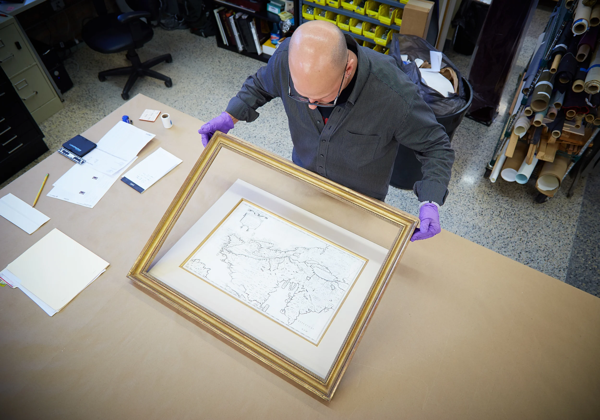
When Greg brought his map into The Center, he wasn’t seeking conservation work - the map was already in great condition. What it needed was quality framing to properly display it in Greg’s home and keep it safe for another 373 years. That’s right - dating back to 1643, this map of the Great Lakes by Jean Boisseau may not be helpful for travel these days, but will take you on an interesting trip to the past.

Pure Michigan: Framing an 1836 John Farmer Map

Pure Michigan: Framing an 1836 John Farmer Map

Sometimes an artwork is not merely an expression of the artist—rather, it is a legal document, or perhaps a blueprint, or even a map. At The Conservation Center, we enjoy coming across pieces that are not only beautiful, but also informative. This was just the case with a piece recently treated for Battle Creek-based private collector, Greg Allen. The said piece is by John Farmer (1798–1859), who is recognized for his cartography of early 19th century Michigan. What makes his maps so incredible is that they serve as primary sources of history for this region.

CONTACT US
312.944.5401